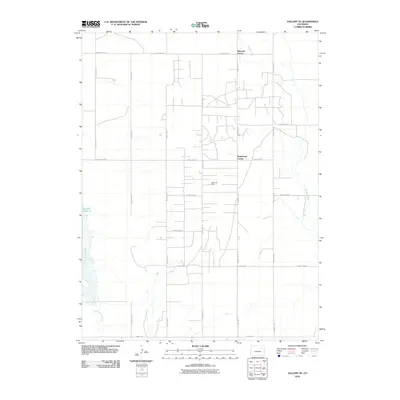
2010 Map of Vallery SE
USGS Topo · Published 2010About this map
Adena Oil Field defines much of this eastern Colorado landscape, reflecting the region's long-standing reliance on energy extraction and resource management. The terrain is marked by a rigorous section-line road network, where specifically named intersections such as Ninemile Corner and Twelvemile Corner serve as critical local landmarks for navigation and land ownership. The presence of the Huey Ranch and the water-trapping Rosener Reservoir underscores the importance of large-scale agriculture and cattle ranching in Morgan County. Natural drainage is dictated by the winding path of Badger Creek to the east and the dry reach of Sand Arroyo Creek to the south, showcasing the contrast between perennial and seasonal water sources that shape high plains settlement patterns.
Find a feature on this map
21 named features on this map. Tap any name to fly to it.
Don’t see what you’re looking for? This feature index may not catch every label — zoom into the map to look around manually.
Map Details
Editions of this 2010 Vallery SE Map
This is the sole edition of this map. No revisions or reprints were ever made.
Other maps of this area

1954 · Limon
USGS Topo · 1:250,000

1954 · Sterling
USGS Topo · 1:250,000

1957 · Limon
USGS Topo · 1:250,000

1958 · Limon
USGS Topo · 1:250,000

1958 · Sterling
USGS Topo · 1:250,000

1963 · Lamb
USGS Topo · 1:24,000

1963 · Round Top
USGS Topo · 1:24,000

1963 · Vallery
USGS Topo · 1:24,000

1963 · Adena
USGS Topo · 1:24,000

1965 · Vallery SE
USGS Topo · 1:24,000