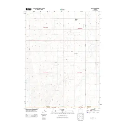
2013 Map of Vallery SE
USGS Topo · Published 2013About this map
Adena Oil Field defines much of the industrial character in this section of the High Plains, where the extraction economy intersects with a rigid section-line road grid. Situated on the border of Morgan and Adams counties, the landscape is partitioned into large agricultural and resource-rich tracts. Settlement is sparse, anchored by named intersections such as Ninemile Corner and Twelvemile Corner rather than traditional town centers. Water management is critical in this arid environment, evidenced by the drainage of Badger Creek in the east and Sand Arroyo Creek in the southwest. These ephemeral waterways cut through the terrain, providing the only natural variation against the geometric precision of the county road system, which includes routes like CO Road I and CO Road 20.
Find a feature on this map
26 named features on this map. Tap any name to fly to it.
Don’t see what you’re looking for? This feature index may not catch every label — zoom into the map to look around manually.
Map Details
Editions of this 2013 Vallery SE Map
This is the sole edition of this map. No revisions or reprints were ever made.
Other maps of this area

1954 · Limon
USGS Topo · 1:250,000

1954 · Sterling
USGS Topo · 1:250,000

1957 · Limon
USGS Topo · 1:250,000

1958 · Limon
USGS Topo · 1:250,000

1958 · Sterling
USGS Topo · 1:250,000

1963 · Lamb
USGS Topo · 1:24,000

1963 · Round Top
USGS Topo · 1:24,000

1963 · Vallery
USGS Topo · 1:24,000

1963 · Adena
USGS Topo · 1:24,000

1965 · Vallery SE
USGS Topo · 1:24,000