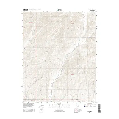
2015 Map of Valleton
USGS Topo · Published 2015About this map
Valleton serves as the central anchor of this Monterey County landscape, positioned along the banks of Big Sandy Cr within the broader expanse of Indian Valley. The terrain is defined by a dense network of steep drainages and ridge lines, including Sheep Canyon to the north and the complex branching of Hare Canyon and Portuguese Canyon. The map reveals a remote ranching and agricultural character, where historical access routes like Indian Valley Rd and Sargents Rd follow the natural contours of the valley floors. In contrast to the rugged uplands of Cañada Montuosa and Walters Canyon, the relatively flat bottomlands of Medford Valley suggest areas historically prioritized for grazing or cultivation. The isolation of these canyons, many named after early settlers or geographical features like Deer Canyon and Tunnel Canyon, reflects a persistent rural land-use pattern typical of this segment of the California Coast Ranges.
Find a feature on this map
23 named features on this map. Tap any name to fly to it.
Don’t see what you’re looking for? This feature index may not catch every label — zoom into the map to look around manually.
Map Details
Editions of this 2015 Valleton Map
This is the sole edition of this map. No revisions or reprints were ever made.
Other maps of this area

1915 · Priest Valley
USGS Topo · 1:125,000

1919 · San Miguel
USGS Topo · 1:62,500

1919 · Bradley
USGS Topo · 1:62,500

1941 · Priest Valley
USGS Topo · 1:62,500

1941 · San Ardo
USGS Topo · 1:62,500

1941 · Bradley
USGS Topo · 1:62,500

1943 · San Ardo
USGS Topo · 1:62,500

1944 · Priest Valley
USGS Topo · 1:62,500

1947 · San Luis Obispo
USGS Topo · 1:250,000

1947 · San Miguel
USGS Topo · 1:62,500