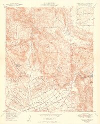
1949 Map of Valley Center
USGS Topo · Published 1949About this map
The unincorporated community of Valley Center is the focal point of this late 1940s survey of North San Diego County. This inland landscape is defined by the intersection of traditional land grants like Rencon Del Diablo and the developing infrastructure of the mid-century, including the Valley Center Ranger Sta and the Valley Center (PO). The terrain transitions from the heights of Bear Ridge and Red Mtn down through Moosa Canyon and Reidy Canyon, where the agricultural and residential patterns of Jesmond Dene and the northern reaches of Escondido begin to take shape.
Find a feature on this map
35 named features on this map. Tap any name to fly to it.
Don’t see what you’re looking for? This feature index may not catch every label — zoom into the map to look around manually.
Map Details
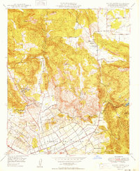
Editions of this 1949 Valley Center Map
2 editions found
Other maps of this area

1893 · Escondido
USGS Topo · 1:62,500

1901 · Escondido
USGS Topo · 1:62,500

1901 · San Luis Rey
USGS Topo · 1:125,000

1903 · Ramona
USGS Topo · 1:125,000

1904 · Southern California Sheet No. 2
USGS Topo · 1:250,000

1939 · Palomar Mountain
USGS Topo · 1:62,500

1942 · Temecula
USGS Topo · 1:62,500

1942 · Escondido
USGS Topo · 1:62,500

1942 · Ramona
USGS Topo · 1:62,500

1947 · Ramona
USGS Topo · 1:62,500