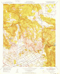
1949 Map of Valley Center
USGS Topo · Published 1949About this map
Valley Center and the northern outskirts of Escondido are captured here during a period of significant agricultural and hydraulic development in North County. The landscape is defined by the intensive water management systems necessary for citrus and avocado cultivation, including the San Diego Aqueduct and the Vista Irrigation District Canal. These engineered waterways cut through the natural drainages of Moosa Canyon and Reidy Canyon, illustrating the effort to transform the arid inland valleys into productive groves.
Find a feature on this map
37 named features on this map. Tap any name to fly to it.
Don’t see what you’re looking for? This feature index may not catch every label — zoom into the map to look around manually.
Map Details
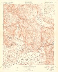
Editions of this 1949 Valley Center Map
2 editions found
Other maps of this area

1893 · Escondido
USGS Topo · 1:62,500

1901 · Escondido
USGS Topo · 1:62,500

1901 · San Luis Rey
USGS Topo · 1:125,000

1903 · Ramona
USGS Topo · 1:125,000

1904 · Southern California Sheet No. 2
USGS Topo · 1:250,000

1939 · Palomar Mountain
USGS Topo · 1:62,500

1942 · Temecula
USGS Topo · 1:62,500

1942 · Escondido
USGS Topo · 1:62,500

1942 · Ramona
USGS Topo · 1:62,500

1947 · Ramona
USGS Topo · 1:62,500