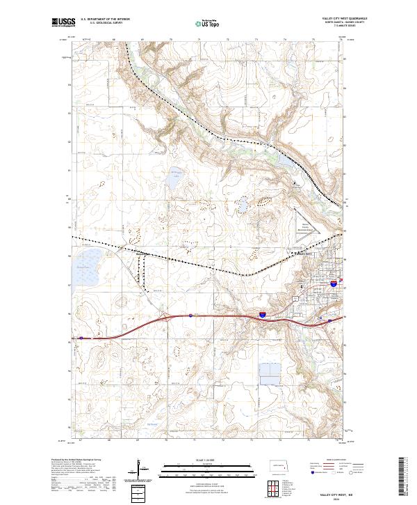
2024 Map of Valley City West
USGS Topo · Published 2024About this map
The Sheyenne River winds through the eastern portion of this map, carving a distinctive valley that defines the local geography. On its banks sits Valley City, the county seat, which serves as a regional hub for education and civic life as evidenced by the Valley City State University campus and the centrally located Barnes County Court House. The surrounding landscape is a mix of agricultural prairie and specialized conservation areas, including the Valley City National Fish Hatchery and several wildlife zones. To the west, the small settlement of Berea marks a point along the transportation corridor. This survey reveals a landscape deeply connected to water management and migratory patterns, with the Hobart Lake National Wildlife Refuge and Barnes County Waterfowl Production Area preserving large tracts of wetland habitat like Hobart Lake and the Big Swamp.
Find a feature on this map
71 named features on this map. Tap any name to fly to it.
Don’t see what you’re looking for? This feature index may not catch every label — zoom into the map to look around manually.
Map Details
Editions of this 2024 Valley City West Map
This is the sole edition of this map. No revisions or reprints were ever made.
Other maps of this area

1897 · Tower
USGS Topo · 1:125,000

1897 · Eckelson
USGS Topo · 1:125,000

1952 · Grand Forks
USGS Topo · 1:250,000

1952 · New Rockford
USGS Topo · 1:250,000

1953 · Jamestown
USGS Topo · 1:250,000

1953 · Fargo
USGS Topo · 1:250,000

1956 · New Rockford
USGS Topo · 1:250,000

1956 · Fargo
USGS Topo · 1:250,000

1956 · Jamestown
USGS Topo · 1:250,000

1956 · Grand Forks
USGS Topo · 1:250,000