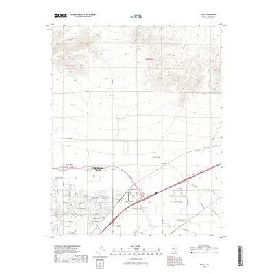
2018 Map of Valley
USGS Topo · Published 2018About this map
The northern reaches of North Las Vegas expand toward the open expanses of the Mojave Desert in this detailed record of the region's suburban development. The landscape is defined by the sharp transition between organized residential planning—marked by corridors like Shadow Creek Dr and E Centennial Pkwy—and the arid backcountry. To the northeast, the settlements of Valley, Lovell, and Dike follow the rail and highway infrastructure that connects the metropolitan core to the surrounding basin. Remote tracks such as Gass Peak Rd and June Bug Mine Rd lead away from the city toward the high terrain, hinting at the area's mineral exploration history. The map captures the moment when modern subdivisions and industrial thoroughfares like Speedway Blvd began pushing further into the desert floor, fundamentally altering the geography of Clark County.
Find a feature on this map
42 named features on this map. Tap any name to fly to it.
Don’t see what you’re looking for? This feature index may not catch every label — zoom into the map to look around manually.
Map Details
Editions of this 2018 Valley Map
This is the sole edition of this map. No revisions or reprints were ever made.
Other maps of this area

1886 · Saint Thomas
USGS Topo · 1:250,000

1893 · Saint Thomas
USGS Topo · 1:250,000

1907 · Las Vegas
USGS Topo · 1:250,000

1908 · Las Vegas
USGS Topo · 1:250,000

1926 · Boulder Canyon
USGS Topo · 1:96,000

1952 · Gass Peak
USGS Topo · 1:62,500

1952 · Dry Lake
USGS Topo · 1:62,500

1952 · Henderson
USGS Topo · 1:62,500

1952 · Las Vegas
USGS Topo · 1:62,500

1954 · Las Vegas
USGS Topo · 1:250,000