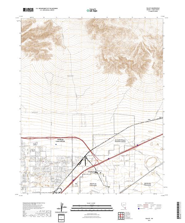
2021 Map of Valley
USGS Topo · Published 2021About this map
North Las Vegas and the expanding residential corridors of the Las Vegas Valley dominate the southern portion of this Clark County survey. The transition from established neighborhoods to the open Mojave Desert is captured through an extensive grid of streets like American Rose Dr and E Tropical Pkwy, while the northern terrain rises sharply toward the rugged foothills. Transportation and utility infrastructure define the landscape here, with the Las Vegas Blvd N corridor passing through Valley and Lovell, alongside significant power transmission lines near Dike.
Find a feature on this map
46 named features on this map. Tap any name to fly to it.
Don’t see what you’re looking for? This feature index may not catch every label — zoom into the map to look around manually.
Map Details
Editions of this 2021 Valley Map
This is the sole edition of this map. No revisions or reprints were ever made.
Other maps of this area

1886 · Saint Thomas
USGS Topo · 1:250,000

1893 · Saint Thomas
USGS Topo · 1:250,000

1907 · Las Vegas
USGS Topo · 1:250,000

1908 · Las Vegas
USGS Topo · 1:250,000

1926 · Boulder Canyon
USGS Topo · 1:96,000

1952 · Gass Peak
USGS Topo · 1:62,500

1952 · Dry Lake
USGS Topo · 1:62,500

1952 · Henderson
USGS Topo · 1:62,500

1952 · Las Vegas
USGS Topo · 1:62,500

1954 · Las Vegas
USGS Topo · 1:250,000