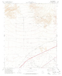
1974 Map of Valley
USGS Topo · Published 1977About this map
Nellis Air Force Base and the Desert National Wildlife Range dominate this mid-1970s landscape, illustrating the heavy federal footprint in southern Nevada. The map details the transition from the protected terrain of the northern Desert to the active military installations of the south, including the Small Arms Range and several clusters of Borrow Pits and a Gravel Pit indicative of local infrastructure needs.
Find a feature on this map
23 named features on this map. Tap any name to fly to it.
Don’t see what you’re looking for? This feature index may not catch every label — zoom into the map to look around manually.
Map Details
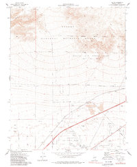
Editions of this 1974 Valley Map
2 editions found
Other maps of this area

1886 · Saint Thomas
USGS Topo · 1:250,000

1893 · Saint Thomas
USGS Topo · 1:250,000

1907 · Las Vegas
USGS Topo · 1:250,000

1908 · Las Vegas
USGS Topo · 1:250,000

1926 · Boulder Canyon
USGS Topo · 1:96,000

1952 · Gass Peak
USGS Topo · 1:62,500

1952 · Dry Lake
USGS Topo · 1:62,500

1952 · Henderson
USGS Topo · 1:62,500

1952 · Las Vegas
USGS Topo · 1:62,500

1954 · Las Vegas
USGS Topo · 1:250,000