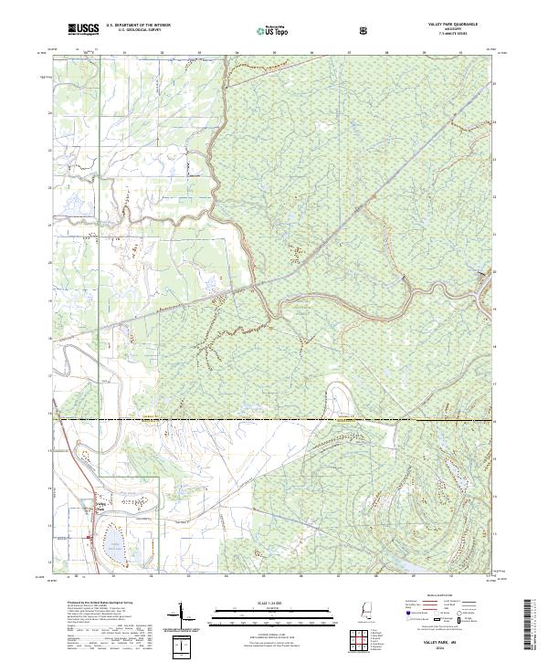
2024 Map of Valley Park
USGS Topo · Published 2024About this map
Valley Park sits at the southern edge of the Delta National Forest, marking a landscape where managed timberlands meet the intricate drainage of the Mississippi Delta. The geography is defined by remnant waterways like False River and Coon Bayou, alongside the winding course of the Little Sunflower River. These features, including Valley Park Lake, suggest the shifting nature of the regional hydrology before modern stabilization. Portions of Theodore Roosevelt National Wildlife Refuge span the northwestern corner, highlighting the area's significance for conservation and habitat. Local infrastructure is sparse but specific, with corridors like Spanish Fort Rd and Dummy Line Rd providing access through the forest and across the Sharkey Co Issaquena Co boundary. The prevalence of named trails, such as the 707h Long Bayou Trail So Trl, illustrates the recreational and resource management network threading through this low-lying terrain.
Find a feature on this map
36 named features on this map. Tap any name to fly to it.
Don’t see what you’re looking for? This feature index may not catch every label — zoom into the map to look around manually.
Map Details
Editions of this 2024 Valley Park Map
This is the sole edition of this map. No revisions or reprints were ever made.
Other maps of this area

1939 · Onward
USGS Topo · 1:62,500

1939 · Lorenzen
USGS Topo · 1:62,500

1940 · Mechanicsburg
USGS Topo · 1:62,500

1955 · Jackson
USGS Topo · 1:250,000

1961 · Jackson
USGS Topo · 1:250,000

1961 · Bayland
USGS Topo · 1:62,500

1962 · Jackson
USGS Topo · 1:250,000

1963 · Mechanicsburg
USGS Topo · 1:62,500

1963 · Onward
USGS Topo · 1:62,500

1964 · Lorenzen
USGS Topo · 1:62,500