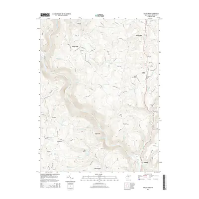
2014 Map of Valley Point
USGS Topo · Published 2014About this map
The Cheat River carves a deep, winding path through the center of this Preston County landscape, creating a dramatic physical divide between western settlements and the plateau to the east. Along the higher ground of the eastern corridor, Valley Point serves as a primary hub, supported by the nearby Valley Point Airport and historic local landmarks like Mt Moriah Cem. The rural infrastructure is defined by a network of winding roads such as Hudson Rd and N Preston Hwy, which connect small communities and family-named homesteads across the varied terrain.
Find a feature on this map
100 named features on this map. Tap any name to fly to it.
Don’t see what you’re looking for? This feature index may not catch every label — zoom into the map to look around manually.
Map Details
Editions of this 2014 Valley Point Map
This is the sole edition of this map. No revisions or reprints were ever made.
Other maps of this area

1886 · St. George
USGS Topo · 1:125,000

1891 · St. George
USGS Topo · 1:125,000

1902 · Morgantown
USGS Topo · 1:62,500

1904 · Bruceton
USGS Topo · 1:62,500

1907 · Thornton
USGS Topo · 1:62,500

1907 · Kingwood
USGS Topo · 1:62,500

1925 · Kingwood
USGS Topo · 1:62,500

1925 · Morgantown
USGS Topo · 1:62,500

1926 · Thornton
USGS Topo · 1:62,500

1926 · Bruceton
USGS Topo · 1:62,500