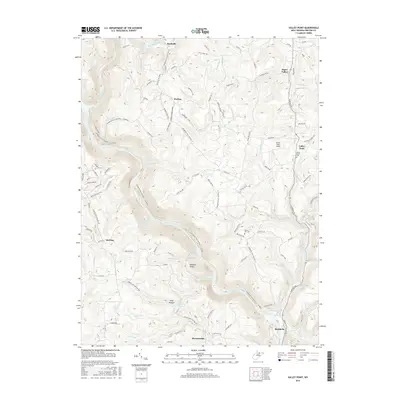
2016 Map of Valley Point
USGS Topo · Published 2016About this map
Valley Point and its neighboring communities in Preston County are defined by the deep, winding course of the Cheat River, which carves a significant path through the center of this landscape. To the north, the terrain is dotted with small settlements like Rockville, Hudson, and Sugar Valley, often linked by high-elevation roads such as Sugar Valley Rd and Harmony Grove Rd. These upland areas contrast with the steep descents toward the river, where numerous tributaries like Big Sandy Creek, Bull Run, and Huckleberry Run feed into the main waterway.
Find a feature on this map
99 named features on this map. Tap any name to fly to it.
Don’t see what you’re looking for? This feature index may not catch every label — zoom into the map to look around manually.
Map Details
Editions of this 2016 Valley Point Map
This is the sole edition of this map. No revisions or reprints were ever made.
Other maps of this area

1886 · St. George
USGS Topo · 1:125,000

1891 · St. George
USGS Topo · 1:125,000

1902 · Morgantown
USGS Topo · 1:62,500

1904 · Bruceton
USGS Topo · 1:62,500

1907 · Thornton
USGS Topo · 1:62,500

1907 · Kingwood
USGS Topo · 1:62,500

1925 · Kingwood
USGS Topo · 1:62,500

1925 · Morgantown
USGS Topo · 1:62,500

1926 · Thornton
USGS Topo · 1:62,500

1926 · Bruceton
USGS Topo · 1:62,500