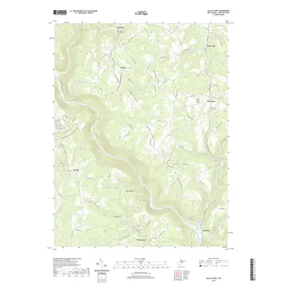
2019 Map of Valley Point
USGS Topo · Published 2019About this map
Rockville Truss Bridge spans the waters near the settlement of Rockville, marking a significant point of historical crossing in this portion of Preston County. The landscape is defined by the winding course of the Cheat River, which carves through the terrain alongside prominent landforms like Hogback Ridge and the Long Hollow valley. Small mountain communities and family-named homesteads such as Elmer Smith and Hudson are connected by a network of rural roads and the long-distance Allegheny Trail.
Find a feature on this map
109 named features on this map. Tap any name to fly to it.
Don’t see what you’re looking for? This feature index may not catch every label — zoom into the map to look around manually.
Map Details
Editions of this 2019 Valley Point Map
This is the sole edition of this map. No revisions or reprints were ever made.
Other maps of this area

1886 · St. George
USGS Topo · 1:125,000

1891 · St. George
USGS Topo · 1:125,000

1902 · Morgantown
USGS Topo · 1:62,500

1904 · Bruceton
USGS Topo · 1:62,500

1907 · Thornton
USGS Topo · 1:62,500

1907 · Kingwood
USGS Topo · 1:62,500

1925 · Kingwood
USGS Topo · 1:62,500

1925 · Morgantown
USGS Topo · 1:62,500

1926 · Thornton
USGS Topo · 1:62,500

1926 · Bruceton
USGS Topo · 1:62,500