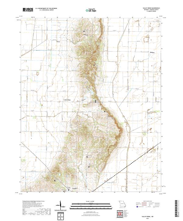
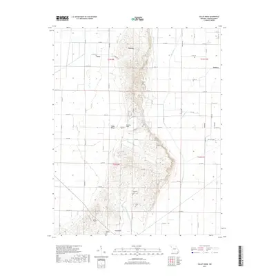
2021 Map of Valley Ridge
USGS Topo · Published 2021About this map
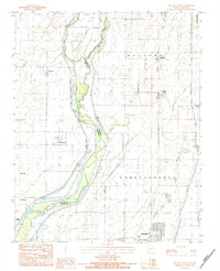
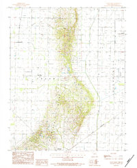
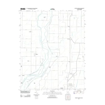
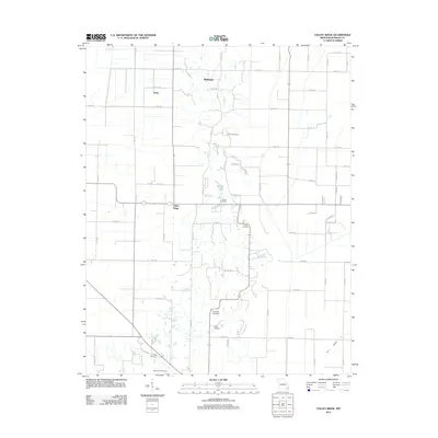
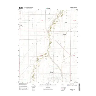
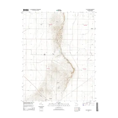
Crowleys Ridge rises as a distinct geological spine above the flat alluvial plains of the Missouri Bootheel, defining the central landscape of this Dunklin County study. This elevated landform provided a natural refuge from the surrounding lowlands, which were systematically reclaimed through an extensive drainage network including the Main Ditch, Lateral Number 1, and the Poplar Cr Lateral District Number 16. The ridge is dotted with family and community burial sites, from the northern Bethany Cem near Bethany to the southern Woodlawn Cem on the outskirts of Campbell.
Find a feature on this map
54 named features on this map. Tap any name to fly to it.
Don’t see what you’re looking for? This feature index may not catch every label — zoom into the map to look around manually.
Map Details
Editions of this 2021 Valley Ridge Map
This is the sole edition of this map. No revisions or reprints were ever made.
Historical Maps of Malden Through Time
22 maps found
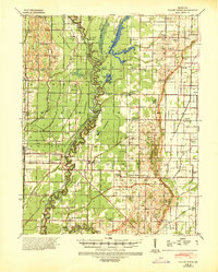
1940 Valley Ridge
Dunklin County, MO
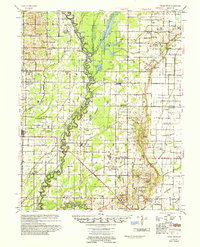
1956 Valley Ridge
Dunklin County, MO
1983 Glennonville
Dunklin County, MO
1983 Kennett North
Dunklin County, MO
1983 Kennett South
Dunklin County, MO
1984 Valley Ridge
Dunklin County, MO
2011 Glennonville
Dunklin County, MO
2011 Kennett North
Dunklin County, MO
2011 Kennett South
Dunklin County, MO
2011 Valley Ridge
Dunklin County, MO
2015 Glennonville
Dunklin County, MO
2015 Kennett North
Dunklin County, MO
2015 Kennett South
Dunklin County, MO
2015 Valley Ridge
Dunklin County, MO
2017 Glennonville
Dunklin County, MO
2017 Kennett North
Dunklin County, MO
2017 Kennett South
Dunklin County, MO
2017 Valley Ridge
Dunklin County, MO
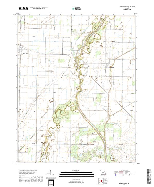
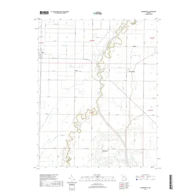
2021 Glennonville
Dunklin County, MO
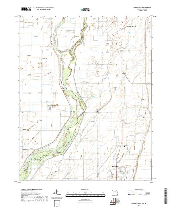
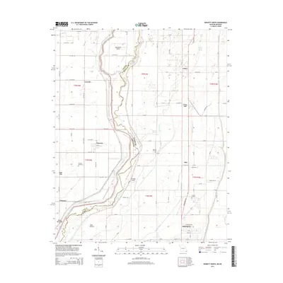
2021 Kennett North
Dunklin County, MO
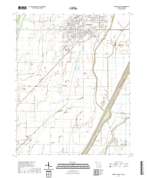
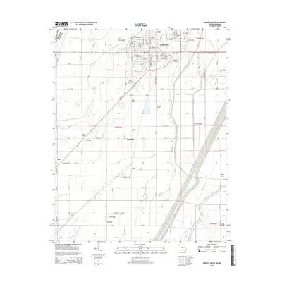
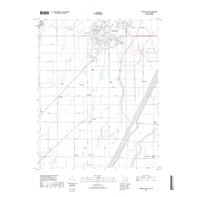
2021 Kennett South
Dunklin County, MO
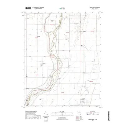
2021 Valley Ridge
Dunklin County, MO