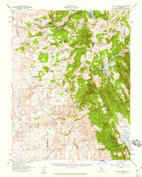
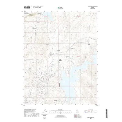
1962 Map of Valley Springs
USGS Topo · Published 1969About this map
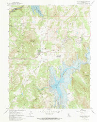
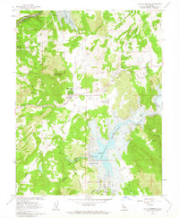
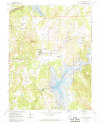
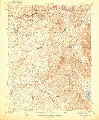
The Calaveras River and Mokelumne River corridors define this landscape at a time of significant hydrological transformation. The 1962 field check captures the area as the New Hogan Reservoir and Camanche Reservoir were being established, with blue hatching indicating areas soon to be submerged by the New Hogan Dam. This era of water management overlays a much older history of resource extraction, evidenced by the Penn Mine, Pluto Mine, and Emma Mine scattered throughout the hills. The Southern Pacific railroad serves the settlement of Valley Springs, while the historic community of Campo Seco sits near the northern edge of the quadrangle. These topographic details illustrate the shift from a mining-based economy to one centered on massive water infrastructure projects in the mid-20th century.
Find a feature on this map
33 named features on this map. Tap any name to fly to it.
Don’t see what you’re looking for? This feature index may not catch every label — zoom into the map to look around manually.
Map Details
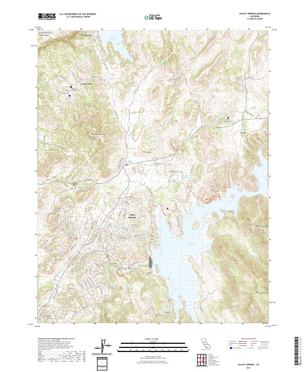
Editions of this 1962 Valley Springs Map
3 editions found
Historical Maps of Rancho Calaveras Through Time
8 maps found
1944 Valley Springs
Calaveras County, CA
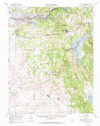
1956 Valley Springs
Calaveras County, CA
1962 Valley Springs
Calaveras County, CA
1962 Valley Springs
Calaveras County, CA
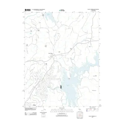
2012 Valley Springs
Calaveras County, CA
2015 Valley Springs
Calaveras County, CA
2018 Valley Springs
Calaveras County, CA
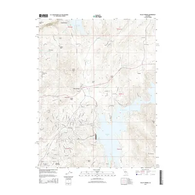
2021 Valley Springs
Calaveras County, CA