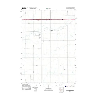
2012 Map of Valley Springs
USGS Topo · Published 2012About this map
Valley Springs sits at the heart of this landscape where the boundaries of South Dakota, Minnesota, and Iowa meet. This 2012 survey documents a region defined by agricultural grid lines and the wandering paths of Beaver Cr and Springwater Cr. The settlement of Manley appears to the northeast, while the smaller nodes of Bruce and Benclare anchor the southern reaches of the map. These small communities are connected by a network of county highways and section roads, including Co HWY-17 and Cliff Ave. Local history is preserved at the Pleasant View Cem and Nerison Cem, which serve as quiet landmarks among the fields. The drainage of Blood Run and Fourmile Cr further shapes the terrain, illustrating the natural watercourses that dictated early land use and settlement patterns in Minnehaha County and the adjacent state borders.
Find a feature on this map
37 named features on this map. Tap any name to fly to it.
Don’t see what you’re looking for? This feature index may not catch every label — zoom into the map to look around manually.
Map Details
Editions of this 2012 Valley Springs Map
This is the sole edition of this map. No revisions or reprints were ever made.
Other maps of this area

1897 · Canton
USGS Topo · 1:125,000

1900 · Canton
USGS Topo · 1:125,000

1955 · Sioux Falls
USGS Topo · 1:250,000

1958 · Sioux Falls
USGS Topo · 1:250,000

1962 · Klondike
USGS Topo · 1:24,000

1962 · Brandon
USGS Topo · 1:24,000

1962 · Garretson West
USGS Topo · 1:24,000

1967 · Valley Springs
USGS Topo · 1:24,000

1967 · Garretson East
USGS Topo · 1:24,000

1967 · Hills
USGS Topo · 1:24,000