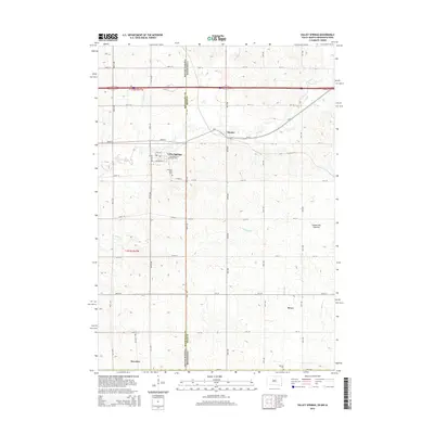
2015 Map of Valley Springs
USGS Topo · Published 2015About this map
The South Dakota Minnesota state line serves as a central axis for this quadrangle, dividing the landscape between Minnehaha and Rock counties. Valley Springs is the primary settlement, situated along the path of Beaver Cr and organized around a grid including Broadway Ave and Sunnyside Ave. The terrain transitions into the distinct upland of the Coteau des Prairies, an elevated plateau that influences the local drainage patterns of Springwater Cr and Fourmile Cr.
Find a feature on this map
63 named features on this map. Tap any name to fly to it.
Don’t see what you’re looking for? This feature index may not catch every label — zoom into the map to look around manually.
Map Details
Editions of this 2015 Valley Springs Map
This is the sole edition of this map. No revisions or reprints were ever made.
Other maps of this area

1897 · Canton
USGS Topo · 1:125,000

1900 · Canton
USGS Topo · 1:125,000

1955 · Sioux Falls
USGS Topo · 1:250,000

1958 · Sioux Falls
USGS Topo · 1:250,000

1962 · Klondike
USGS Topo · 1:24,000

1962 · Brandon
USGS Topo · 1:24,000

1962 · Garretson West
USGS Topo · 1:24,000

1967 · Valley Springs
USGS Topo · 1:24,000

1967 · Garretson East
USGS Topo · 1:24,000

1967 · Hills
USGS Topo · 1:24,000