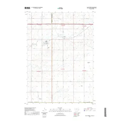
2017 Map of Valley Springs
USGS Topo · Published 2017About this map
The town of Valley Springs serves as the primary hub of this landscape where the borders of South Dakota, Minnesota, and Iowa meet. This borderland geography is defined by the Coteau des Prairies, a massive plateau that creates a distinct drainage pattern for several local waterways. Small agricultural settlements like Manley, Bruce, and Benclare are scattered throughout the region, connected by a network of county highways. The map provides a detailed view of the local drainage system, including the serpentine paths of Blood Run, Beaver Cr, and Springwater Cr. Genealogists and local historians can locate early burial grounds such as Pleasant View Cem south of the main town and Nerison Cem near the southern border, offering a clear picture of the rural infrastructure in the early 21st century.
Find a feature on this map
26 named features on this map. Tap any name to fly to it.
Don’t see what you’re looking for? This feature index may not catch every label — zoom into the map to look around manually.
Map Details
Editions of this 2017 Valley Springs Map
This is the sole edition of this map. No revisions or reprints were ever made.
Other maps of this area

1897 · Canton
USGS Topo · 1:125,000

1900 · Canton
USGS Topo · 1:125,000

1955 · Sioux Falls
USGS Topo · 1:250,000

1958 · Sioux Falls
USGS Topo · 1:250,000

1962 · Klondike
USGS Topo · 1:24,000

1962 · Brandon
USGS Topo · 1:24,000

1962 · Garretson West
USGS Topo · 1:24,000

1967 · Valley Springs
USGS Topo · 1:24,000

1967 · Garretson East
USGS Topo · 1:24,000

1967 · Hills
USGS Topo · 1:24,000