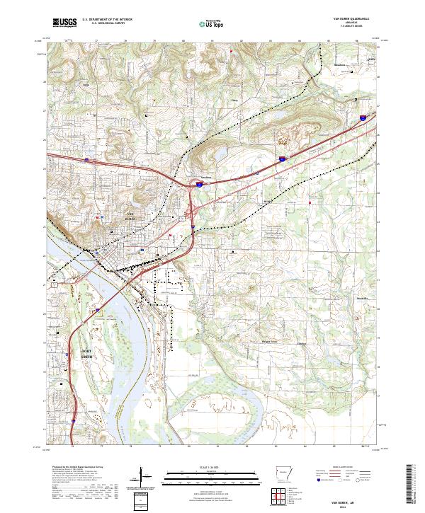
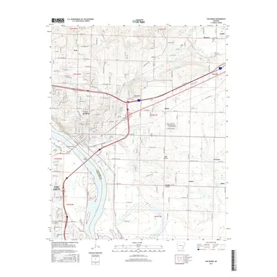
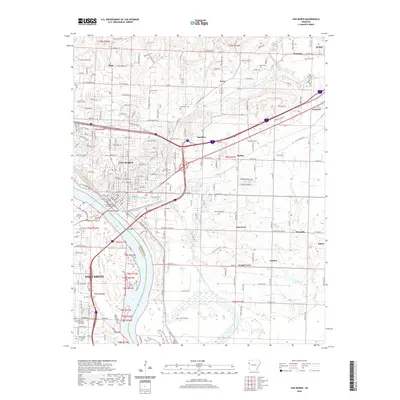
2024 Map of Van Buren
USGS Topo · Published 2024About this map
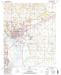
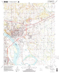
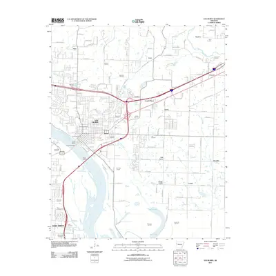
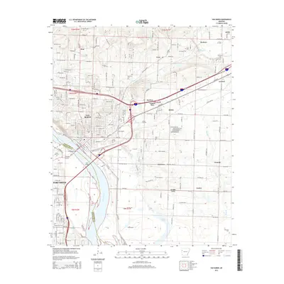
The Arkansas River defines the landscape as it moves between Crawford and Sebastian counties, separating the bustling city of Van Buren from the northern reaches of Fort Smith. This recent survey illustrates a densely settled region where urban growth meets significant historical foundations, marked by several prominent burial grounds including Antioch Cem, Grace Lawn Cem, and Fairview Cem. The northern terrain is characterized by winding roads such as Old Uniontown Rd and the sharp oxbow curves of Jerden Bend.
Find a feature on this map
117 named features on this map. Tap any name to fly to it.
Don’t see what you’re looking for? This feature index may not catch every label — zoom into the map to look around manually.
Map Details
Editions of this 2024 Van Buren Map
This is the sole edition of this map. No revisions or reprints were ever made.
Historical Maps of Fort Smith Through Time
12 maps found

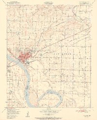
1887 Van Buren
Crawford County, AR
1947 Van Buren
Crawford County, AR

1947 Van Buren
Crawford County, AR
1951 Van Buren
Crawford County, AR
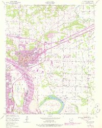
1976 Van Buren
Crawford County, AR
1987 Van Buren
Crawford County, AR
1997 Van Buren
Crawford County, AR
2011 Van Buren
Crawford County, AR
2014 Van Buren
Crawford County, AR
2017 Van Buren
Crawford County, AR
2020 Van Buren
Crawford County, AR
2024 Van Buren
Crawford County, AR