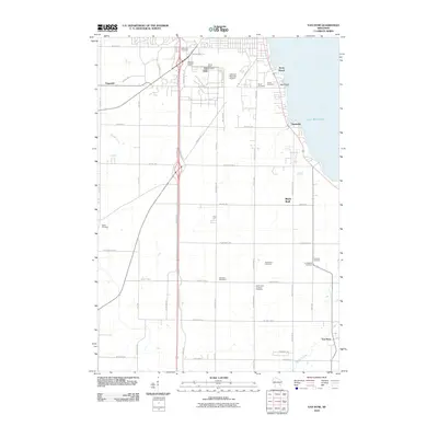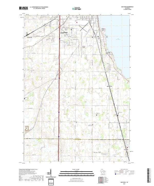
2022 Map of Van Dyne
USGS Topo · Published 2022About this map
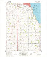
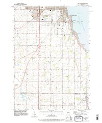
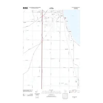
Lake Winnebago defines the eastern edge of this region, where shoreline communities like Stony Beach and Paukotuk sit along the Fond du Lac Rd corridor. This 2022 survey captures the southern reaches of Oshkosh, dominated by the sprawling infrastructure of Wittman Regional Airport and the surrounding industrial and residential neighborhoods. Further south, the landscape shifts toward the rural townships of Black Wolf and Van Dyne, characterized by a grid of agricultural roads and a high density of small country cemeteries.
Find a feature on this map
118 named features on this map. Tap any name to fly to it.
Don’t see what you’re looking for? This feature index may not catch every label — zoom into the map to look around manually.
Map Details
Editions of this 2022 Van Dyne Map
This is the sole edition of this map. No revisions or reprints were ever made.
Historical Maps of Oshkosh Through Time
7 maps found