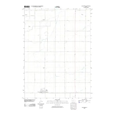
2010 Map of Van Horne
USGS Topo · Published 2010About this map
Van Horne serves as the primary hub of this Benton County landscape, where the grid of rural roads meets the local rail line. The town's layout is centered around the Van Horne Post Office, while the surrounding prairie is defined by agricultural sections and small historical nodes like Benton Centre, Gomersal, and Geneva. These smaller settlements reflect the late 19th and early 20th-century development of the region's farming economy.
Find a feature on this map
30 named features on this map. Tap any name to fly to it.
Don’t see what you’re looking for? This feature index may not catch every label — zoom into the map to look around manually.
Map Details
Editions of this 2010 Van Horne Map
This is the sole edition of this map. No revisions or reprints were ever made.
Other maps of this area

1888 · Shellsburg
USGS Topo · 1:62,500

1888 · Amana
USGS Topo · 1:62,500

1889 · Amana
USGS Topo · 1:62,500

1889 · Shellsburg
USGS Topo · 1:62,500

1899 · Amana
USGS Topo · 1:62,500

1899 · Shellsburg
USGS Topo · 1:62,500

1903 · Fairfax
USGS Topo · 1:125,000

1903 · Winthrop
USGS Topo · 1:125,000

1954 · Waterloo
USGS Topo · 1:250,000

1954 · Des Moines
USGS Topo · 1:250,000