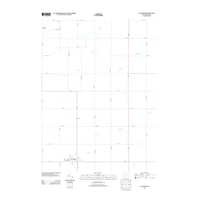
2013 Map of Van Horne
USGS Topo · Published 2013About this map
Van Horne sits at the southern edge of this Benton County survey, serving as a primary settlement hub with its gridded streets including Main St, 1st Ave, and 7th St. The surrounding landscape is defined by the agricultural geometry typical of the Iowa prairie, where long-established townships are divided by a precise network of roads such as 20th Ave and 64th St.
Find a feature on this map
32 named features on this map. Tap any name to fly to it.
Don’t see what you’re looking for? This feature index may not catch every label — zoom into the map to look around manually.
Map Details
Editions of this 2013 Van Horne Map
This is the sole edition of this map. No revisions or reprints were ever made.
Other maps of this area

1888 · Shellsburg
USGS Topo · 1:62,500

1888 · Amana
USGS Topo · 1:62,500

1889 · Amana
USGS Topo · 1:62,500

1889 · Shellsburg
USGS Topo · 1:62,500

1899 · Amana
USGS Topo · 1:62,500

1899 · Shellsburg
USGS Topo · 1:62,500

1903 · Fairfax
USGS Topo · 1:125,000

1903 · Winthrop
USGS Topo · 1:125,000

1954 · Waterloo
USGS Topo · 1:250,000

1954 · Des Moines
USGS Topo · 1:250,000