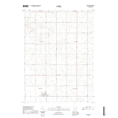
2018 Map of Van Horne
USGS Topo · Published 2018About this map
Van Horne sits as the primary hub in this portion of Benton County, where a grid of town streets like Main St and 3rd Ave meets the rural agricultural landscape. This 2018 survey reveals a territory defined by high-precision section lines and a systematic road network, including Co Trunk Hwy V66 and Co Hwy E30. Outside the main settlement, the land is etched by the drainage patterns of Mud Cr, Wildcat Cr, and Opossum Cr, which create the only significant breaks in the otherwise orderly farm plots. Smaller markers of local history remain visible, such as Bellar Cem in the central township and the location of Big Grove to the north. The map reflects a modern Iowa landscape where historical township boundaries like t84n r10w continue to dictate the placement of roads and farmstead properties.
Find a feature on this map
41 named features on this map. Tap any name to fly to it.
Don’t see what you’re looking for? This feature index may not catch every label — zoom into the map to look around manually.
Map Details
Editions of this 2018 Van Horne Map
This is the sole edition of this map. No revisions or reprints were ever made.
Other maps of this area

1888 · Shellsburg
USGS Topo · 1:62,500

1888 · Amana
USGS Topo · 1:62,500

1889 · Amana
USGS Topo · 1:62,500

1889 · Shellsburg
USGS Topo · 1:62,500

1899 · Amana
USGS Topo · 1:62,500

1899 · Shellsburg
USGS Topo · 1:62,500

1903 · Fairfax
USGS Topo · 1:125,000

1903 · Winthrop
USGS Topo · 1:125,000

1954 · Waterloo
USGS Topo · 1:250,000

1954 · Des Moines
USGS Topo · 1:250,000