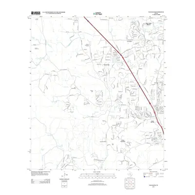
2013 Map of Van Raub
USGS Topo · Published 2013About this map
Fair Oaks Ranch and the surrounding Hill Country communities appear at a moment of significant suburban expansion in the early 21st century. The map centers on the corridor north of San Antonio, where the historic settlement of Leon Springs sits at the junction of major transit routes. The landscape is defined by the Kremkau Divide and numerous watercourses like Cibolo Cr and Balcones Cr that have shaped the region's topography.
Find a feature on this map
233 named features on this map. Tap any name to fly to it.
Don’t see what you’re looking for? This feature index may not catch every label — zoom into the map to look around manually.
Map Details
Editions of this 2013 Van Raub Map
This is the sole edition of this map. No revisions or reprints were ever made.
Other maps of this area

1953 · Otis Ridge
USGS Topo · 1:24,000

1953 · Helotes
USGS Topo · 1:24,000

1953 · Castle Hills
USGS Topo · 1:24,000

1953 · Van Raub
USGS Topo · 1:24,000

1954 · San Antonio
USGS Topo · 1:250,000

1956 · Comfort
USGS Topo · 1:62,500

1956 · Medina Lake
USGS Topo · 1:62,500

1957 · Boerne
USGS Topo · 1:62,500

1957 · San Antonio
USGS Topo · 1:250,000

1964 · Boerne
USGS Topo · 1:24,000