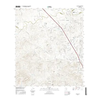
2016 Map of Van Raub
USGS Topo · Published 2016About this map
Leon Springs and the surrounding Hill Country of Bexar County are depicted here in a period of significant suburban expansion and equestrian activity. The map showcases a landscape where historical ranching roots meet modern development, evidenced by the numerous horse-racing-themed street names near Fair Oaks Ranch, such as Secretariat Ln and Triple Crown. The topographic detail highlights the transition from the relatively flat Cibolo Cr basin in the north to the more varied elevations of the Kremkau Divide and Cross Mtn in the south.
Find a feature on this map
192 named features on this map. Tap any name to fly to it.
Don’t see what you’re looking for? This feature index may not catch every label — zoom into the map to look around manually.
Map Details
Editions of this 2016 Van Raub Map
This is the sole edition of this map. No revisions or reprints were ever made.
Other maps of this area

1953 · Otis Ridge
USGS Topo · 1:24,000

1953 · Helotes
USGS Topo · 1:24,000

1953 · Castle Hills
USGS Topo · 1:24,000

1953 · Van Raub
USGS Topo · 1:24,000

1954 · San Antonio
USGS Topo · 1:250,000

1956 · Comfort
USGS Topo · 1:62,500

1956 · Medina Lake
USGS Topo · 1:62,500

1957 · Boerne
USGS Topo · 1:62,500

1957 · San Antonio
USGS Topo · 1:250,000

1964 · Boerne
USGS Topo · 1:24,000