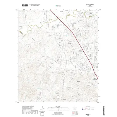
2019 Map of Van Raub
USGS Topo · Published 2019About this map
Van Raub and the adjacent community of Scenic Oaks sit at the northern edge of the San Antonio metropolitan area, where the suburban landscape meets the Texas Hill Country. This 2019 survey documents the expansion of residential developments like Fair Oaks Ranch alongside older markers of the region's history. Genealogists will find several family-named burial sites, including the Charles Cole Cem, the Cole - Hugman Cem, and the Robles Cem near the Kremkau Divide.
Find a feature on this map
40 named features on this map. Tap any name to fly to it.
Don’t see what you’re looking for? This feature index may not catch every label — zoom into the map to look around manually.
Map Details
Editions of this 2019 Van Raub Map
This is the sole edition of this map. No revisions or reprints were ever made.
Other maps of this area

1953 · Otis Ridge
USGS Topo · 1:24,000

1953 · Helotes
USGS Topo · 1:24,000

1953 · Castle Hills
USGS Topo · 1:24,000

1953 · Van Raub
USGS Topo · 1:24,000

1954 · San Antonio
USGS Topo · 1:250,000

1956 · Comfort
USGS Topo · 1:62,500

1956 · Medina Lake
USGS Topo · 1:62,500

1957 · Boerne
USGS Topo · 1:62,500

1957 · San Antonio
USGS Topo · 1:250,000

1964 · Boerne
USGS Topo · 1:24,000