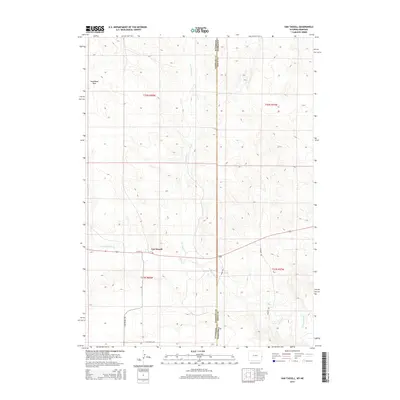
2015 Map of Van Tassell
USGS Topo · Published 2015About this map
Van Tassell sits at the high plains intersection of Wyoming and Nebraska, serving as a primary point of settlement in this sprawling ranching landscape. The town is situated near the Niobrara River, which cuts through the southern portion of the quadrangle, while Van Tassell Cr drains the land to the north. This 2015 survey illustrates the modern road network essential for connectivity in the High Plains, including S Van Tassell Rd and Henry Rd.
Find a feature on this map
13 named features on this map. Tap any name to fly to it.
Don’t see what you’re looking for? This feature index may not catch every label — zoom into the map to look around manually.
Map Details
Editions of this 2015 Van Tassell Map
This is the sole edition of this map. No revisions or reprints were ever made.
Other maps of this area

1954 · Torrington
USGS Topo · 1:250,000

1955 · Alliance
USGS Topo · 1:250,000

1957 · Alliance
USGS Topo · 1:250,000

1958 · Torrington
USGS Topo · 1:250,000

1958 · Alliance
USGS Topo · 1:250,000

1974 · Mc Master Reservoir
USGS Topo · 1:24,000

1977 · Van Tassell
USGS Topo · 1:24,000

1977 · Van Tassell SE
USGS Topo · 1:24,000

1977 · Prairie Center
USGS Topo · 1:24,000

1978 · Kirtley SW
USGS Topo · 1:24,000