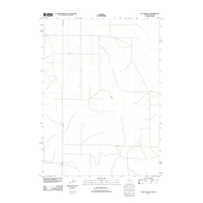
2012 Map of Van Tassell SE
USGS Topo · Published 2012About this map
The High Plains landscape at the Nebraska-Wyoming border is defined by a sparse but essential grid of rural routes. Stretching through the Bowen Precinct of Sioux County, this terrain is navigated by a network of county roads that link the isolated ranchlands. Wyoming 159 and Co Rd 159 serve as the primary north-south corridor, while Henry Rd cuts across the southern portion of the quadrangle. Other notable transit lines include S Van Tassell Rd and Co Rd 27, which mark the transition between the two states. The mapping of these routes reveals the persistent patterns of land use and property access in this portion of the American West, where the drainage systems and natural topography dictate the path of each unpaved road.
Find a feature on this map
10 named features on this map. Tap any name to fly to it.
Don’t see what you’re looking for? This feature index may not catch every label — zoom into the map to look around manually.
Map Details
Editions of this 2012 Van Tassell SE Map
This is the sole edition of this map. No revisions or reprints were ever made.
Other maps of this area

1896 · Patrick
USGS Topo · 1:125,000

1899 · Whistle Creek
USGS Topo · 1:125,000

1954 · Torrington
USGS Topo · 1:250,000

1955 · Alliance
USGS Topo · 1:250,000

1957 · Alliance
USGS Topo · 1:250,000

1958 · Torrington
USGS Topo · 1:250,000

1958 · Alliance
USGS Topo · 1:250,000

1974 · Mc Master Reservoir
USGS Topo · 1:24,000

1977 · Van Tassell
USGS Topo · 1:24,000

1977 · Van Tassell SE
USGS Topo · 1:24,000