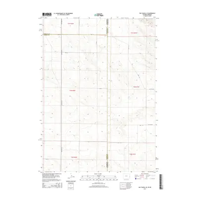
2015 Map of Van Tassell SE
USGS Topo · Published 2015About this map
The high plains of the Wyoming-Nebraska border define this landscape, where Niobrara, Goshen, and Sioux counties converge. A sparse network of gravel roads provides the only infrastructure across these sections, notably Van Tassell Rd and Henry Rd, which follow the section lines of the Public Land Survey System. The topography is characterized by subtle drainage patterns and high ridges that fall within the t31n r60w and t30n r57w townships. This 2015 survey illustrates a contemporary view of the remote ranching country at the eastern edge of Wyoming, showing how early 20th-century land divisions continue to dictate the modern road grid including Thirty-Three Rd and Road 61.
Find a feature on this map
17 named features on this map. Tap any name to fly to it.
Don’t see what you’re looking for? This feature index may not catch every label — zoom into the map to look around manually.
Map Details
Editions of this 2015 Van Tassell SE Map
This is the sole edition of this map. No revisions or reprints were ever made.
Other maps of this area

1896 · Patrick
USGS Topo · 1:125,000

1899 · Whistle Creek
USGS Topo · 1:125,000

1954 · Torrington
USGS Topo · 1:250,000

1955 · Alliance
USGS Topo · 1:250,000

1957 · Alliance
USGS Topo · 1:250,000

1958 · Torrington
USGS Topo · 1:250,000

1958 · Alliance
USGS Topo · 1:250,000

1974 · Mc Master Reservoir
USGS Topo · 1:24,000

1977 · Van Tassell
USGS Topo · 1:24,000

1977 · Van Tassell SE
USGS Topo · 1:24,000