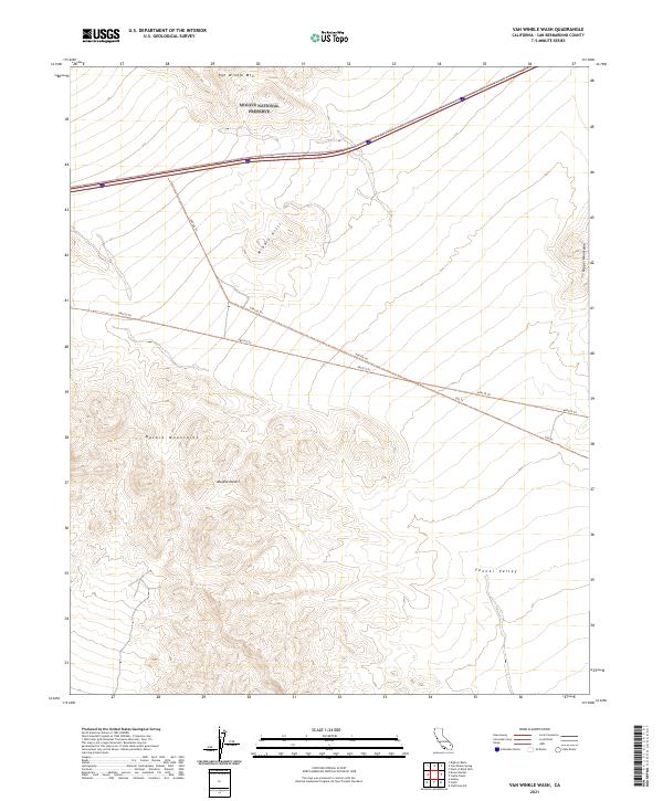
2021 Map of Van Winkle Wash
USGS Topo · Published 2021About this map
Van Winkle Mtn rises above the arid expanse of the Mojave Desert in this recent topographical study. Located within the Mojave National Preserve, the landscape is defined by the massive formations of the Marble Mountains and the northern reaches of the Fenner Valley. The terrain is marked by a network of numbered back-country routes, including 690126 Trl and 690119 Trl, which provide the only access through the high passes between the Middle Hills and the Clipper Mountains.
Find a feature on this map
16 named features on this map. Tap any name to fly to it.
Don’t see what you’re looking for? This feature index may not catch every label — zoom into the map to look around manually.
Map Details
Editions of this 2021 Van Winkle Wash Map
This is the sole edition of this map. No revisions or reprints were ever made.
Other maps of this area

1942 · Amboy
USGS Topo · 1:250,000

1943 · Amboy
USGS Topo · 1:250,000

1943 · Danby
USGS Topo · 1:62,500

1954 · Needles
USGS Topo · 1:250,000

1956 · Needles
USGS Topo · 1:250,000

1956 · Colton Well
USGS Topo · 1:62,500

1956 · Cadiz
USGS Topo · 1:62,500

1956 · Danby
USGS Topo · 1:62,500

1956 · Flynn
USGS Topo · 1:62,500

1981 · Needles
USGS Topo · 1:250,000