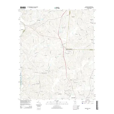
2014 Map of Van Wyck
USGS Topo · Published 2014About this map
The Andrew Jackson State Park serves as a centerpiece for this region of the South Carolina and North Carolina borderlands, preserving the landscape near the Andrew Jackson Memorial. The terrain is defined by the winding course of the Catawba River and its numerous tributaries, including Cane Creek and Waxhaw Creek. Settlement patterns are concentrated around historic rural hubs such as Van Wyck, Fosters Crossroads, and Shiloh.
Find a feature on this map
129 named features on this map. Tap any name to fly to it.
Don’t see what you’re looking for? This feature index may not catch every label — zoom into the map to look around manually.
Map Details
Editions of this 2014 Van Wyck Map
This is the sole edition of this map. No revisions or reprints were ever made.
Other maps of this area

1941 · Spartanburg
USGS Topo · 1:250,000

1953 · Spartanburg
USGS Topo · 1:250,000

1960 · Spartanburg
USGS Topo · 1:250,000

1963 · Spartanburg
USGS Topo · 1:250,000

1964 · Spartanburg
USGS Topo · 1:250,000

1968 · Van Wyck
USGS Topo · 1:24,000

1968 · Catawba
USGS Topo · 1:24,000
1968 · Catawba NE
USGS Topo · 1:24,000
1968 · Rock Hill East
USGS Topo · 1:24,000

1969 · Antioch
USGS Topo · 1:24,000