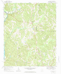
2024 Map of Van Wyck
USGS Topo · Published 2024About this map
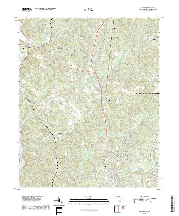
The Catawba River defines the western edge of this territory, where the historic crossing at Ashes Ferry once linked the settlement of Van Wyck to the opposite shore. This region, straddling the North Carolina-South Carolina border, is marked by a deep-rooted pattern of small rural communities and family burial grounds. Notable genealogical landmarks include the Waxhaw Church Graveyard and several independent church sites like Jackson Grove Independent Church Cem and Mount Zion Baptist Church Cem.
Find a feature on this map
154 named features on this map. Tap any name to fly to it.
Don’t see what you’re looking for? This feature index may not catch every label — zoom into the map to look around manually.
Map Details
Editions of this 2024 Van Wyck Map
This is the sole edition of this map. No revisions or reprints were ever made.
Historical Maps of Lancaster Through Time
6 maps found