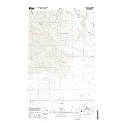
2014 Map of Vance Creek
USGS Topo · Published 2014About this map
Olympic National Forest land dominates this 2014 survey, where the rugged southern reaches of the Olympic Mountains meet the timber-rich drainage of the South Fork Skokomish River. The map documents a landscape defined by its forestry history, marked by the presence of logging-era outposts and railroad sidings such as Camp Govey, Fir Creek Reload, and Windy Siding. One of the most significant engineering landmarks shown is the High Steel Bridge, which spans the river canyon at a staggering height, originally built for logging rail traffic.
Find a feature on this map
46 named features on this map. Tap any name to fly to it.
Don’t see what you’re looking for? This feature index may not catch every label — zoom into the map to look around manually.
Map Details
Editions of this 2014 Vance Creek Map
This is the sole edition of this map. No revisions or reprints were ever made.
Other maps of this area

1939 · Shelton
USGS Topo · 1:62,500

1943 · Potlatch
USGS Topo · 1:62,500

1943 · Nahwatzel Lake
USGS Topo · 1:62,500

1952 · Potlatch
USGS Topo · 1:62,500

1953 · Mt Tebo
USGS Topo · 1:62,500

1953 · Shelton
USGS Topo · 1:62,500

1953 · Elma
USGS Topo · 1:62,500

1958 · Seattle
USGS Topo · 1:250,000

1962 · Seattle
USGS Topo · 1:250,000
1981 · Nahwatzel Lake
USGS Topo · 1:24,000