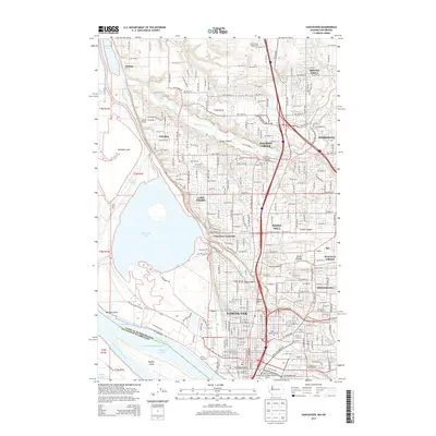
2014 Map of Vancouver
USGS Topo · Published 2014About this map
The Columbia River defines the southern boundary of this Washington-Oregon borderlands study, where the Friendly Reach and Vancouver Upper Channel facilitate heavy river traffic near the Port of Vancouver. At the heart of the settlement is the Fort Vancouver National Historical Site, preserving the area's deep history near the modern street grid of Vancouver. North of the city, the landscape transitions into a network of residential and semi-rural communities including Hazel Dell, Felida, and Salmon Creek, bounded by the waters of Vancouver Lake and the wetlands around Shillapoo Lake.
Find a feature on this map
156 named features on this map. Tap any name to fly to it.
Don’t see what you’re looking for? This feature index may not catch every label — zoom into the map to look around manually.
Map Details
Editions of this 2014 Vancouver Map
This is the sole edition of this map. No revisions or reprints were ever made.
Other maps of this area

1897 · Portland
USGS Topo · 1:62,500

1905 · Portland
USGS Topo · 1:62,500

1915 · Hillsboro
USGS Topo · 1:62,500

1918 · Hillsboro
USGS Topo · 1:62,500

1922 · St. Helens
USGS Topo · 1:62,500

1940 · Hillsboro
USGS Topo · 1:62,500

1940 · Portland
USGS Topo · 1:62,500

1940 · La Center
USGS Topo · 1:62,500

1941 · St Helens
USGS Topo · 1:62,500

1943 · St Helens
USGS Topo · 1:62,500