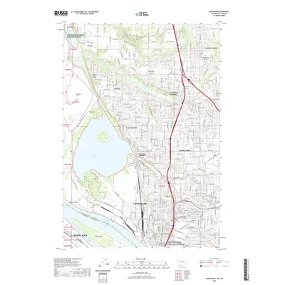
2020 Map of Vancouver
USGS Topo · Published 2020About this map
Vancouver sits at a geographic crossroads where the Columbia River meets the historic Pacific Highway corridor. This modern survey illustrates a landscape layered with military and pioneer history, centered on the Fort Vancouver National Historic Site and the adjacent Vancouver Barracks. North of the city, suburban growth is visible in neighborhoods like Felida, Salmon Creek, and Hazel Dell, which are contrasted by the preserved wetlands of the Ridgefield National Wildlife Refuge and the wide expanse of Vancouver Lake. The map reveals the intricate water network of the Friendly Reach and Vancouver Lower Channel that has long dictated regional commerce. Educational and civic anchors, including the Washington State University Vancouver campus and the Clark County Courthouse, are situated alongside older landmarks such as Mother Joseph Catholic Cem and the Post Cem, providing a comprehensive look at the area's development.
Find a feature on this map
218 named features on this map. Tap any name to fly to it.
Don’t see what you’re looking for? This feature index may not catch every label — zoom into the map to look around manually.
Map Details
Editions of this 2020 Vancouver Map
This is the sole edition of this map. No revisions or reprints were ever made.
Other maps of this area

1897 · Portland
USGS Topo · 1:62,500

1905 · Portland
USGS Topo · 1:62,500

1915 · Hillsboro
USGS Topo · 1:62,500

1918 · Hillsboro
USGS Topo · 1:62,500

1922 · St. Helens
USGS Topo · 1:62,500

1940 · Hillsboro
USGS Topo · 1:62,500

1940 · Portland
USGS Topo · 1:62,500

1940 · La Center
USGS Topo · 1:62,500

1941 · St Helens
USGS Topo · 1:62,500

1943 · St Helens
USGS Topo · 1:62,500