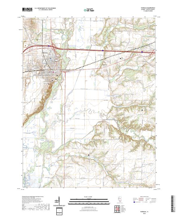
2024 Map of Vandalia
USGS Topo · Published 2024About this map
Vandalia serves as the focal point of this Fayette County study, situated where the Kaskaskia River valley begins its complex winding through southern Illinois. The town's historical significance as an early seat of government is anchored by the Fayette County Courthouse and several significant burial grounds, including the Old State Cem and Vandalia City Cem. To the east, Bluff City occupies the higher ground above the river's floodplain, near Haley Chapel.
Find a feature on this map
84 named features on this map. Tap any name to fly to it.
Don’t see what you’re looking for? This feature index may not catch every label — zoom into the map to look around manually.
Map Details
Editions of this 2024 Vandalia Map
This is the sole edition of this map. No revisions or reprints were ever made.
Other maps of this area

1941 · St. Elmo
USGS Topo · 1:62,500

1944 · Ramsey
USGS Topo · 1:62,500

1945 · St. Elmo
USGS Topo · 1:62,500

1945 · Kinmundy
USGS Topo · 1:62,500

1945 · Vandalia
USGS Topo · 1:62,500

1946 · Ramsey
USGS Topo · 1:62,500

1947 · Vandalia
USGS Topo · 1:62,500

1947 · Kinmundy
USGS Topo · 1:62,500

1958 · Decatur
USGS Topo · 1:250,000

1958 · Belleville
USGS Topo · 1:250,000