
1945 Map of Vandalia
USGS Topo · Published 1945About this map
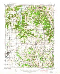
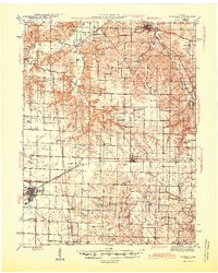
Vandalia serves as a significant rail and road hub at the intersection of the Alton RR and local highway networks, anchoring the southwestern portion of this mid-1940s landscape. The map reveals a densely organized rural society defined by an extraordinary concentration of country schools, including Round Grove Sch, Bridgewater Sch, and the uniquely named New Michigan Sch. These small, localized school districts reflect a pre-consolidation educational structure common in Missouri's agricultural heartland before mid-century reforms changed the rural landscape.
Find a feature on this map
59 named features on this map. Tap any name to fly to it.
Don’t see what you’re looking for? This feature index may not catch every label — zoom into the map to look around manually.
Map Details
Editions of this 1945 Vandalia Map
3 editions found
Other maps of this area

1890 · Louisiana
USGS Topo · 1:125,000

1890 · Mexico
USGS Topo · 1:125,000

1903 · Palmyra
USGS Topo · 1:125,000

1931 · Barry
USGS Topo · 1:62,500

1932 · Hannibal
USGS Topo · 1:62,500

1936 · Hannibal
USGS Topo · 1:48,000

1936 · Barry
USGS Topo · 1:48,000

1937 · Silex
USGS Topo · 1:62,500

1937 · Bowling Green
USGS Topo · 1:62,500

1939 · Silex
USGS Topo · 1:48,000