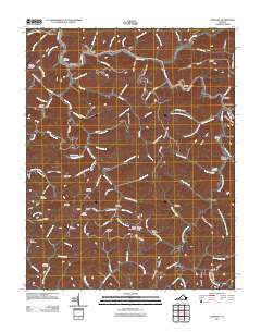
2011 Map of Vansant
USGS Topo · Published 2011About this map
Vansant and the winding Levisa Fork anchor this 2011 map of Buchanan County, Virginia, illustrating a landscape defined by narrow valleys and steep ridges. The region's history of small, family-centric settlements is evident in the high density of burial sites such as Baldwin Cemetery, Lester Cemetery, and Street Cemetery. These cemeteries, often positioned on hillsides or near watercourses like Garden Creek, remain critical landmarks for genealogical research in this part of Appalachia.
Find a feature on this map
121 named features on this map. Tap any name to fly to it.
Don’t see what you’re looking for? This feature index may not catch every label — zoom into the map to look around manually.
Map Details
Editions of this 2011 Vansant Map
This is the sole edition of this map. No revisions or reprints were ever made.
Other maps of this area

1886 · Grundy
USGS Topo · 1:125,000

1890 · Grundy
USGS Topo · 1:125,000

1891 · Tazewell
USGS Topo · 1:125,000

1892 · Grundy
USGS Topo · 1:125,000

1895 · Tazewell
USGS Topo · 1:125,000

1897 · Tazewell
USGS Topo · 1:125,000

1910 · Iaeger
USGS Topo · 1:48,000

1912 · Iaeger
USGS Topo · 1:62,500

1914 · Bucu
USGS Topo · 1:48,000

1914 · Iaeger
USGS Topo · 1:48,000