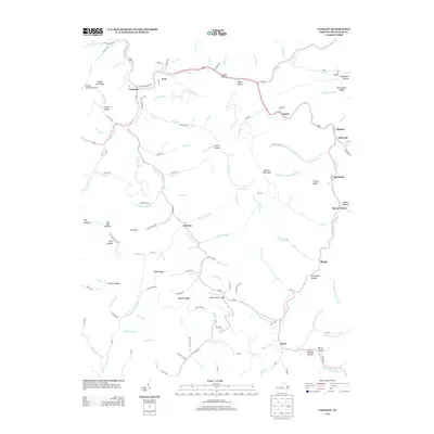
2013 Map of Vansant
USGS Topo · Published 2013About this map
The Levisa Fork cuts through the steep topography of Buchanan County, anchoring the settlement of Vansant and its surrounding mountain communities. This 2013 survey documents a landscape defined by sharp ridges and narrow hollows, where residential pockets like Oakwood, Mavisdale, and Rowe follow the winding paths of drainage basins. The area's legacy of resource extraction and local industry is visible in labels such as Copper Mine Br and Mill Br, reflecting how the geography dictated the local economy.
Find a feature on this map
105 named features on this map. Tap any name to fly to it.
Don’t see what you’re looking for? This feature index may not catch every label — zoom into the map to look around manually.
Map Details
Editions of this 2013 Vansant Map
This is the sole edition of this map. No revisions or reprints were ever made.
Other maps of this area

1886 · Grundy
USGS Topo · 1:125,000

1890 · Grundy
USGS Topo · 1:125,000

1891 · Tazewell
USGS Topo · 1:125,000

1892 · Grundy
USGS Topo · 1:125,000

1895 · Tazewell
USGS Topo · 1:125,000

1897 · Tazewell
USGS Topo · 1:125,000

1910 · Iaeger
USGS Topo · 1:48,000

1912 · Iaeger
USGS Topo · 1:62,500

1914 · Bucu
USGS Topo · 1:48,000

1914 · Iaeger
USGS Topo · 1:48,000