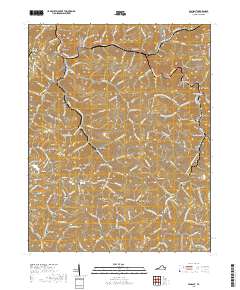
2019 Map of Vansant
USGS Topo · Published 2019About this map
Levisa Fork winds through the heart of Buchanan County, anchoring a series of small mountain settlements including Vansant, Oakwood, and Mavisdale. The landscape is defined by the tight interaction between narrow valley floors and sharp ridgelines such as Turkey Pen Ridge and Mill Branch Ridge. This modern survey reveals the industrial and educational footprint of the region, noting the Edge of Strip Mine near Slim Hollow and the presence of the Appalachian College of Pharmacy near the eastern border.
Find a feature on this map
123 named features on this map. Tap any name to fly to it.
Don’t see what you’re looking for? This feature index may not catch every label — zoom into the map to look around manually.
Map Details
Editions of this 2019 Vansant Map
This is the sole edition of this map. No revisions or reprints were ever made.
Other maps of this area

1886 · Grundy
USGS Topo · 1:125,000

1890 · Grundy
USGS Topo · 1:125,000

1891 · Tazewell
USGS Topo · 1:125,000

1892 · Grundy
USGS Topo · 1:125,000

1895 · Tazewell
USGS Topo · 1:125,000

1897 · Tazewell
USGS Topo · 1:125,000

1910 · Iaeger
USGS Topo · 1:48,000

1912 · Iaeger
USGS Topo · 1:62,500

1914 · Bucu
USGS Topo · 1:48,000

1914 · Iaeger
USGS Topo · 1:48,000