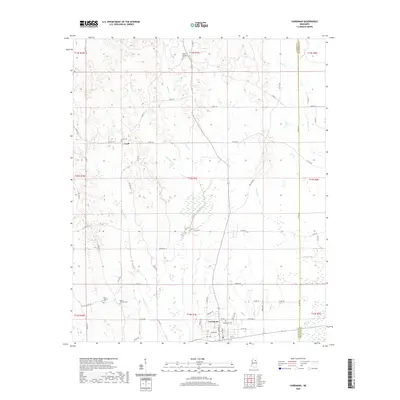
2020 Map of Vardaman
USGS Topo · Published 2020About this map
Vardaman and Loyd anchor this rural landscape in the northeastern corner of Calhoun County, where agricultural fields and timberland are deeply etched by a complex network of waterways. The topography is defined by the drainage basins of Meridian Cr, Hurricane Cr, and Bull Cr, which carve through the terrain between the county line and the larger Mud Cr system. This 2020 survey reveals a community deeply connected to its land and history through numerous small burial grounds and places of worship, such as New Liberty Cem, Mount Herman Cem, and Poplar Springs Cem. The presence of Hollis Switch Rd hints at the region's former rail-and-road junctions. While Vardaman serves as the primary hub, the smaller settlement of Loyd maintains its identity centered around the Loyd Cem, illustrating the enduring nature of local family and community landmarks in this part of Mississippi.
Find a feature on this map
77 named features on this map. Tap any name to fly to it.
Don’t see what you’re looking for? This feature index may not catch every label — zoom into the map to look around manually.
Map Details
Editions of this 2020 Vardaman Map
This is the sole edition of this map. No revisions or reprints were ever made.
Other maps of this area

1953 · West Point
USGS Topo · 1:250,000

1954 · Pittsboro
USGS Topo · 1:62,500

1956 · Tupelo
USGS Topo · 1:250,000

1958 · Tupelo
USGS Topo · 1:250,000

1958 · West Point
USGS Topo · 1:250,000

1963 · West Point
USGS Topo · 1:250,000

1972 · Houlka
USGS Topo · 1:24,000

1972 · Robbs
USGS Topo · 1:24,000

1972 · Atlanta
USGS Topo · 1:24,000

1972 · Vardaman
USGS Topo · 1:24,000