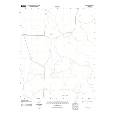
2010 Map of Variadero
USGS Topo · Published 2010About this map
Variadero anchors this high-desert landscape in San Miguel County, situated along the northern banks of the Conchas River. The map reveals a dispersed settlement pattern centered around the wide Variadero Mesa and the drainage of Trementina Creek. To the north, the community of New Trementina serves as a local hub near the Trementina Post Office, reflecting the enduring rural character of this region of New Mexico.
Find a feature on this map
23 named features on this map. Tap any name to fly to it.
Don’t see what you’re looking for? This feature index may not catch every label — zoom into the map to look around manually.
Map Details
Editions of this 2010 Variadero Map
This is the sole edition of this map. No revisions or reprints were ever made.
Other maps of this area

1892 · Watrous
USGS Topo · 1:125,000

1892 · Corazon
USGS Topo · 1:125,000

1894 · Corazon
USGS Topo · 1:125,000

1894 · Watrous
USGS Topo · 1:125,000

1954 · Santa Fe
USGS Topo · 1:250,000

1958 · Santa Fe
USGS Topo · 1:250,000

1971 · Canon Olguin
USGS Topo · 1:24,000

1972 · Variadero
USGS Topo · 1:24,000

1972 · Four V Ranch
USGS Topo · 1:24,000

1972 · La Silla
USGS Topo · 1:24,000