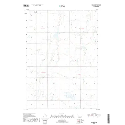
2017 Map of Vayland NW
USGS Topo · Published 2017About this map
Turtle Cr and several prairie basins define the topography of this rural Hand County landscape. In the southern portion of the map, the stream meanders through sections of t111n r68w and t111n r67w, illustrating the classic township and range system that organized this part of South Dakota. The land is marked by water bodies including Jones Lake and Pearl Lake, along with the seasonal courses of W Pearl Cr and E Pearl Cr. This area is connected by a strictly geometric road network, such as 360th Ave and 200th ST, which follow the section lines of the Public Land Survey System. The presence of Cow Camp Pl suggests the livestock-centered land use that has long characterized these plains, while the numerous small wetlands and depressions scattered throughout the townships indicate the region's glacial hydrology.
Find a feature on this map
20 named features on this map. Tap any name to fly to it.
Don’t see what you’re looking for? This feature index may not catch every label — zoom into the map to look around manually.
Map Details
Editions of this 2017 Vayland NW Map
This is the sole edition of this map. No revisions or reprints were ever made.
Other maps of this area

1899 · Redfield
USGS Topo · 1:125,000

1949 · Vayland SE
USGS Topo · 1:24,000

1949 · Vayland SW
USGS Topo · 1:24,000

1950 · Ree Heights SE
USGS Topo · 1:24,000

1950 · Vayland
USGS Topo · 1:24,000

1950 · Vayland NW
USGS Topo · 1:24,000

1951 · Vayland SW
USGS Topo · 1:24,000

1951 · Vayland SE
USGS Topo · 1:24,000

1953 · Huron
USGS Topo · 1:250,000

1954 · Huron
USGS Topo · 1:250,000