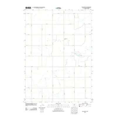
2012 Map of Vayland SE
USGS Topo · Published 2012About this map
Wessington Hills rise above the agricultural plains of Hand County in this 2012 survey, defining the local relief in an area primarily organized by a rigid section-line road grid. The landscape is dominated by large-scale farming and drainage patterns, with Sand Cr winding its way across the territory. This map is of particular interest to local historians and genealogists due to the presence of the Rosehill Cem and the nearby Rose Hill Lake, which serve as quiet landmarks in this sparsely populated region. The network of rural routes, including 369th Ave and 212th St, illustrates the enduring structure of South Dakota's rural land division.
Find a feature on this map
19 named features on this map. Tap any name to fly to it.
Don’t see what you’re looking for? This feature index may not catch every label — zoom into the map to look around manually.
Map Details
Editions of this 2012 Vayland SE Map
This is the sole edition of this map. No revisions or reprints were ever made.
Other maps of this area

1949 · Vayland SE
USGS Topo · 1:24,000

1949 · Vayland SW
USGS Topo · 1:24,000

1950 · Vayland
USGS Topo · 1:24,000

1950 · Wessington
USGS Topo · 1:24,000

1950 · Vayland NW
USGS Topo · 1:24,000

1951 · Vayland SW
USGS Topo · 1:24,000

1951 · Wessington SW
USGS Topo · 1:24,000

1951 · Vayland SE
USGS Topo · 1:24,000

1953 · Huron
USGS Topo · 1:250,000

1954 · Huron
USGS Topo · 1:250,000