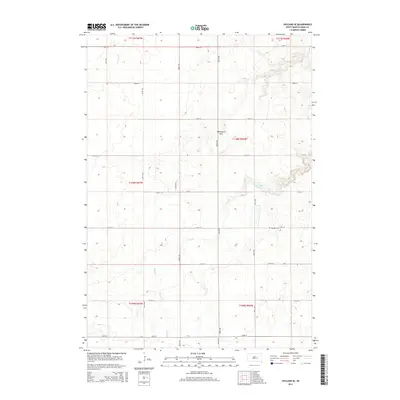
2015 Map of Vayland SE
USGS Topo · Published 2015About this map
Wessington Hills rise across this rural landscape of Hand County, defining the elevation patterns in an area primarily shaped by agricultural section lines and seasonal drainages. The landscape is characterized by a grid of local routes such as 368th Ave and 212th St, which connect isolated homesteads and farmland. Water features are sparse but significant to the local geography, including the meandering path of Sand Creek and the presence of Rose Hill Lake. For those researching local heritage, the Rosehill Cem stands as a primary point of historical interest, serving the surrounding township. The map provides a clear look at the Public Land Survey System divisions, marking the boundaries of townships like t110n r66w, which illustrate the enduring 19th-century settlement pattern into the modern era.
Find a feature on this map
25 named features on this map. Tap any name to fly to it.
Don’t see what you’re looking for? This feature index may not catch every label — zoom into the map to look around manually.
Map Details
Editions of this 2015 Vayland SE Map
This is the sole edition of this map. No revisions or reprints were ever made.
Other maps of this area

1949 · Vayland SE
USGS Topo · 1:24,000

1949 · Vayland SW
USGS Topo · 1:24,000

1950 · Vayland
USGS Topo · 1:24,000

1950 · Wessington
USGS Topo · 1:24,000

1950 · Vayland NW
USGS Topo · 1:24,000

1951 · Vayland SW
USGS Topo · 1:24,000

1951 · Wessington SW
USGS Topo · 1:24,000

1951 · Vayland SE
USGS Topo · 1:24,000

1953 · Huron
USGS Topo · 1:250,000

1954 · Huron
USGS Topo · 1:250,000