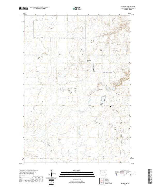
2021 Map of Vayland SE
USGS Topo · Published 2021About this map
Wessington Hills rise in the eastern portion of this Hand County landscape, where the high prairie gives way to more varied relief. This terrain is drained by the meandering course of Sand Creek, which cuts through the central sections of the survey. In the southeastern corner, Rose Hill Lake and the adjacent Rosehill Cem serve as focal points for the local rural community. The area's organization is defined by a strict section-line road network, including corridors such as Co Rd 9 and Co Rd 31, which facilitate travel between isolated farmsteads and agricultural plots. Numerous small wetlands and depressions are scattered across the plains, characteristic of the glacial pothole geography found in this part of South Dakota.
Find a feature on this map
26 named features on this map. Tap any name to fly to it.
Don’t see what you’re looking for? This feature index may not catch every label — zoom into the map to look around manually.
Map Details
Editions of this 2021 Vayland SE Map
This is the sole edition of this map. No revisions or reprints were ever made.
Other maps of this area

1949 · Vayland SE
USGS Topo · 1:24,000

1949 · Vayland SW
USGS Topo · 1:24,000

1950 · Vayland
USGS Topo · 1:24,000

1950 · Wessington
USGS Topo · 1:24,000

1950 · Vayland NW
USGS Topo · 1:24,000

1951 · Vayland SW
USGS Topo · 1:24,000

1951 · Wessington SW
USGS Topo · 1:24,000

1951 · Vayland SE
USGS Topo · 1:24,000

1953 · Huron
USGS Topo · 1:250,000

1954 · Huron
USGS Topo · 1:250,000