Loading...
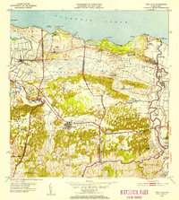
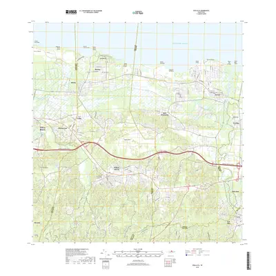
Loading map...1953 Map of Vega Alta
USGS Topo · Published 1954About this map
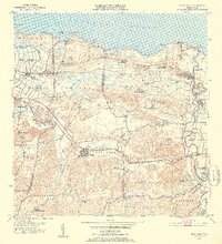
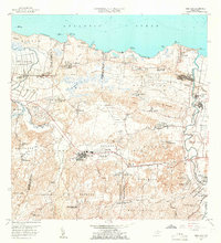
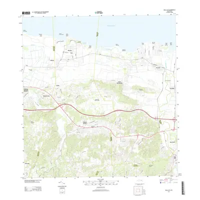
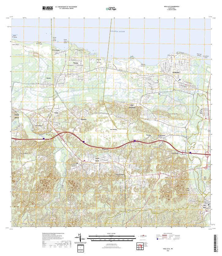
The sugar economy and coastal geography of northern Puerto Rico are clearly visible in this mid-century survey. The landscape is anchored by industrial sites such as Central San Vicente and Central Constancia, which were connected to the wider island by the American Railroad of Porto Rico. Along the Atlantic shore, the map details the transition from the marshy Ciénaga Sabana to the sandy stretches of Playa de Sardinera and Playa de los Tocones.
Find a feature on this map
77 named features on this map. Tap any name to fly to it.
Don’t see what you’re looking for? This feature index may not catch every label — zoom into the map to look around manually.
Map Details
Date Portrayed1953
Date Published1954
PublisherU.S. Geological Survey
Map TypeTopographic
Scale1:30,000
Physical Dimensions19.6 x 21.8 inches
Editions of this 1953 Vega Alta Map
2 editions found
Historical Maps of Dorado Through Time
8 maps found


Featured Locations
Source Details
SourceU.S. Geological Survey
CopyrightPublic Domain