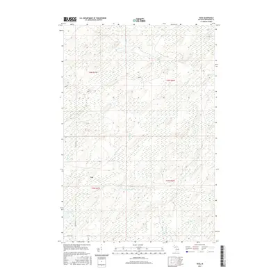
2017 Map of Vega
USGS Topo · Published 2017About this map
The small settlement of Vega serves as the focal point for this 2017 survey of the Upper Peninsula's interior timberlands. The landscape is defined by the complex hydrology of Spalding Township, where the Cedar River and the W Br Cedar River converge. This network of waterways, including Tenmile Cr and Nacomis Cr, illustrates the drainage patterns essential to the local ecosystem and historical logging interests. Moving through the low-lying terrain, a few established corridors like Old Cc Rd and Number 44 Rd provide access to the dense woodland. The presence of Lake Number Eighteen in the southwest quadrant highlights the numerous small basins that dot this glacial topography, offering a clear view of the area's natural state in the early 21st century.
Find a feature on this map
14 named features on this map. Tap any name to fly to it.
Don’t see what you’re looking for? This feature index may not catch every label — zoom into the map to look around manually.
Map Details
Editions of this 2017 Vega Map
This is the sole edition of this map. No revisions or reprints were ever made.
Other maps of this area

1954 · Escanaba
USGS Topo · 1:250,000

1956 · Foster City
USGS Topo · 1:62,500

1957 · Escanaba
USGS Topo · 1:250,000

1958 · Escanaba
USGS Topo · 1:250,000

1963 · Bark River
USGS Topo · 1:62,500

1963 · Powers
USGS Topo · 1:62,500

1963 · Schaffer
USGS Topo · 1:62,500

1982 · Escanaba
USGS Topo · 1:100,000
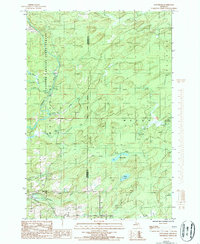
1986 · Waucedah
USGS Topo · 1:24,000
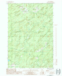
1986 · Vega
USGS Topo · 1:24,000