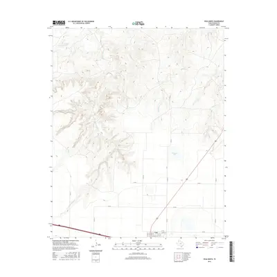
2016 Map of Vega North
USGS Topo · Published 2016About this map
The town of Vega sits at the southern edge of this High Plains landscape, where the grid of the Panhandle gives way to the complex drainage systems of the Canadian River watershed. North of the community, the terrain is defined by the deep incisions of Middle Alamosa Cr and Ledger Cr, which carve through the caprock and create a stark contrast to the level agricultural fields and ranchlands found along Co RD F. These ephemeral watercourses, including Billys Cr and Bradley Cr, flow northward through a series of draws, eventually providing drainage for the region's cattle operations. On the flatter plateau to the east, Milkweed Lake serves as a prominent natural depression. The map documents the northern expansion of the town's street grid, including N Main St and Hamilton St, as they interface with the broader rural network of Oldham County.
Find a feature on this map
25 named features on this map. Tap any name to fly to it.
Don’t see what you’re looking for? This feature index may not catch every label — zoom into the map to look around manually.
Map Details
Editions of this 2016 Vega North Map
This is the sole edition of this map. No revisions or reprints were ever made.
Other maps of this area

1954 · Tucumcari
USGS Topo · 1:250,000

1958 · Tucumcari
USGS Topo · 1:250,000

1965 · Everett
USGS Topo · 1:24,000

1966 · Alamocitos Camp
USGS Topo · 1:24,000

1966 · Simms NE
USGS Topo · 1:24,000

1966 · Jay Taylor Ranch
USGS Topo · 1:24,000

1966 · Halfway Creek
USGS Topo · 1:24,000

1966 · Landergin
USGS Topo · 1:24,000

1966 · Vega South
USGS Topo · 1:24,000

1966 · Torrea Peak
USGS Topo · 1:24,000