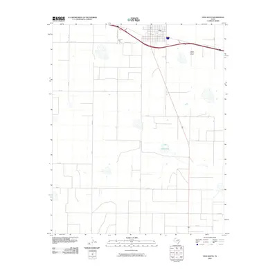
2010 Map of Vega South
USGS Topo · Published 2010About this map
The town of Vega sits at the northern edge of this high plains landscape, where the local grid meets the transcontinental thoroughfare of Interstate 40. This 2010 survey illustrates the transition from the structured street plan of the community to the wide-ranging ranch and agricultural lands of the Texas Panhandle. Significant local infrastructure is centered near the town site, including the Oldham County Airport and the precisely named New Cemetary Rd leading toward Memorial Park. Moving south from the settlement, the terrain is defined by a sparse network of county roads like Co Rd HH and Co Rd 27 that navigate around intermittent water features such as Dodson Lake. The map provides a clear look at the late 20th and early 21st-century rural development patterns in the region, showcasing the vast spacing of homesteads and the importance of road access in this open cattle and farming country.
Find a feature on this map
20 named features on this map. Tap any name to fly to it.
Don’t see what you’re looking for? This feature index may not catch every label — zoom into the map to look around manually.
Map Details
Editions of this 2010 Vega South Map
This is the sole edition of this map. No revisions or reprints were ever made.
Other maps of this area

1954 · Tucumcari
USGS Topo · 1:250,000

1958 · Tucumcari
USGS Topo · 1:250,000

1965 · Everett
USGS Topo · 1:24,000

1965 · Allison Ranch
USGS Topo · 1:24,000

1966 · Overstreet Lake
USGS Topo · 1:24,000

1966 · Simms NE
USGS Topo · 1:24,000

1966 · Jay Taylor Ranch
USGS Topo · 1:24,000

1966 · Landergin
USGS Topo · 1:24,000

1966 · Vega South
USGS Topo · 1:24,000

1966 · Ford
USGS Topo · 1:24,000